As we are experiencing highly unusual traffic and we are discouraging self service mode unless you are an expert user.
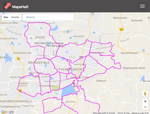
You can access the maps in self service mode here: Maps View
If you know the village name and the survey #, please visit https://www.rajakaluve.org/
Please contact us via Facebook at https://www.facebook.com/mapshalli for a chat based support.
We are here to help you! We can check if your property is encroaching a SWD. Our data is based on information from BBMP, Karnataka revenue survey maps, and IIMB-RERI data.
We are not a government organization. This site is built by citizens for citizens. It is run by funds and time from citizen volunteers. We have helped thousands of citizens and we are there to help you!
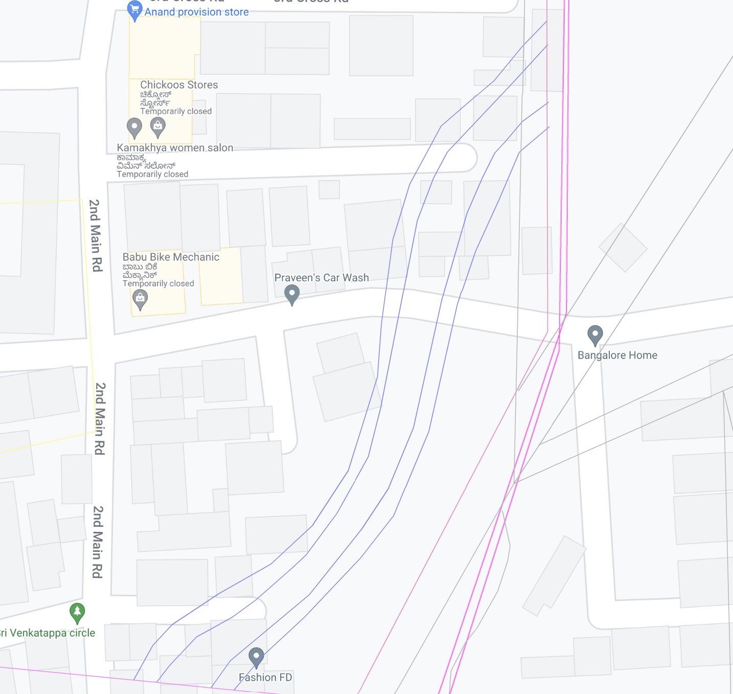
The pink lines shown below in the map do not represent Rajakaluves! They are just village boundaries. Please don't trust the WhatsApp forwards.
The four dark blue parallel lines represent a Rajakaluve. A single aqua line (not shown in the map) represents secondary or tertiary storm water drains. There are too many colored lines in the maps to make sense. Please contact us via Facebook at https://www.facebook.com/mapshalli for a chat based support.